Our experience spans multiple industries, allowing us to adapt our technology and insights to your specific challenges. From identifying potential risks in construction to improving energy grid planning or aiding land conservation efforts, our expertise ensures your success.
By leveraging drone technology, we reduce traditional fieldwork time, lower operational costs, and minimize project delays while maintaining exceptional accuracy and high-quality deliverables.
At Contour Mapping Pros, we bring cutting-edge drone mapping and data solutions to a wide array of industries. From construction and real estate to engineering, energy, and environmental management, our expertise ensures tailored results for every project.

In the construction industry, precision and efficiency are key. Our topographic surveys, progress documentation, and volume calculations support planning, grading, and on-site monitoring, ensuring projects are completed on time and within budget.
Applications: Site planning, grading analysis, earthwork calculations, and project progress monitoring.
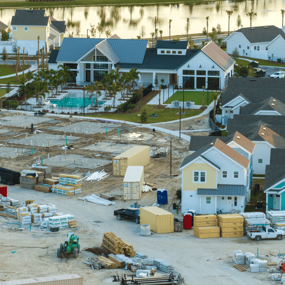

For real estate professionals, visuals matter. Our orthomosaics, 3D models, and aerial photography provide compelling visuals that enhance property presentations and aid in site planning.
Applications: Marketing properties, evaluating potential sites, and showcasing development progress.
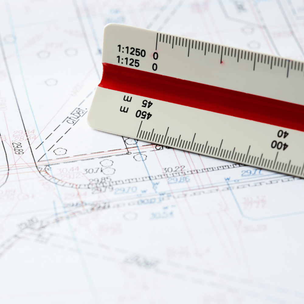

Engineers and surveyors rely on precision data to create robust designs. Our LiDAR and topographic data collection deliver the high-resolution models and contour maps needed for detailed analysis and planning.
Applications: Infrastructure development, site modeling, and as-built documentation.
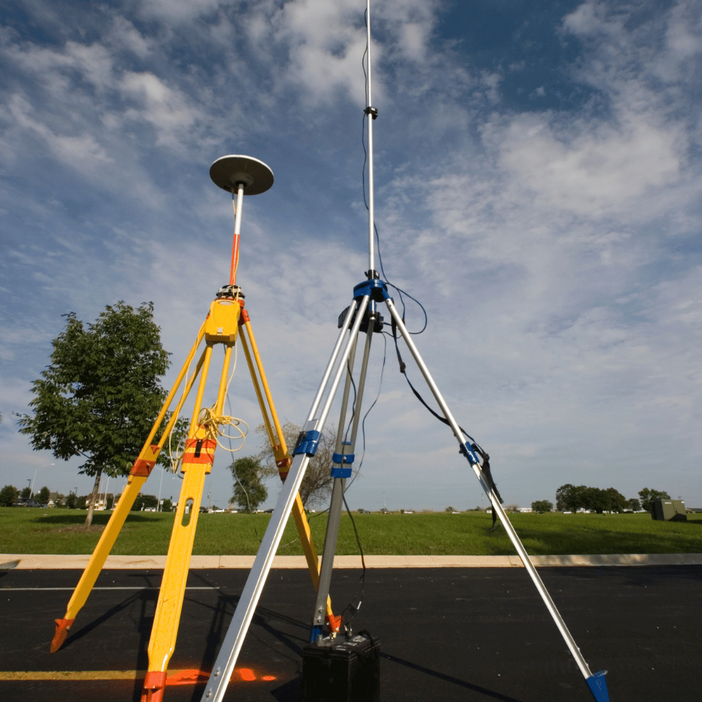

For energy and utility companies, efficiency and safety are paramount. Our drone mapping services streamline inspections, infrastructure planning, and resource management.
Applications: Renewable energy site assessments, utility inspections, and grid infrastructure planning.
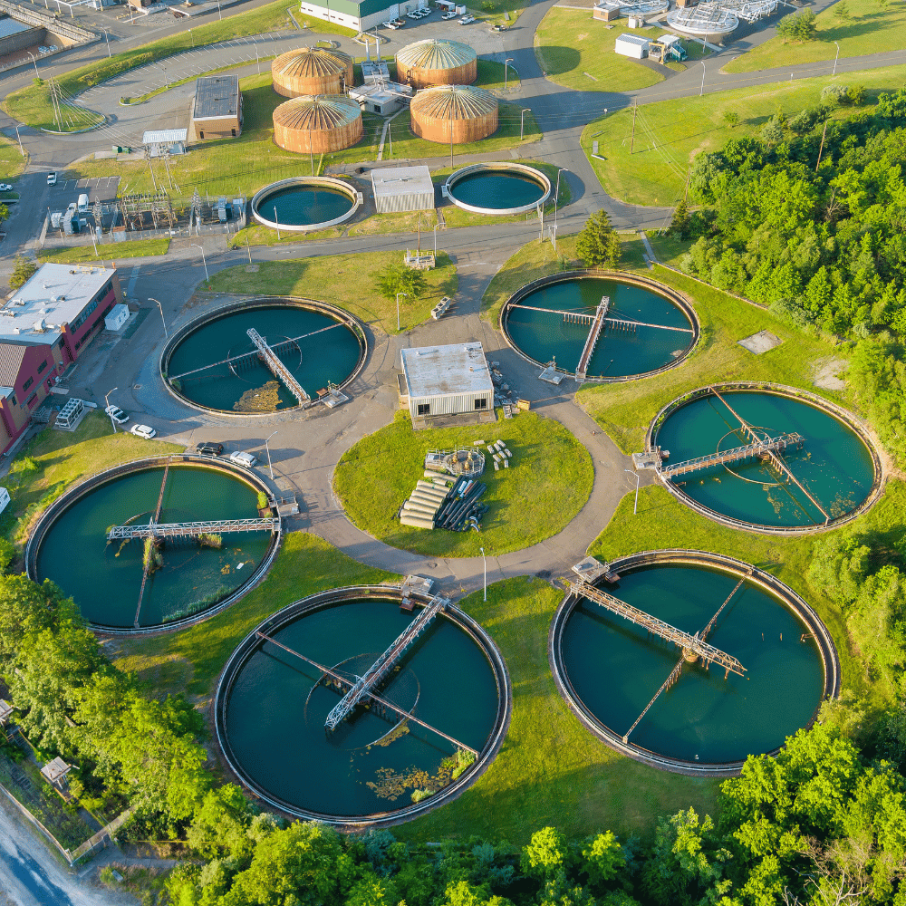

Environmental projects require accurate data to monitor and protect ecosystems. Our services enable vegetation analysis, terrain modeling, and resource management for sustainable outcomes.
Applications: Conservation efforts, land use planning, and erosion control.
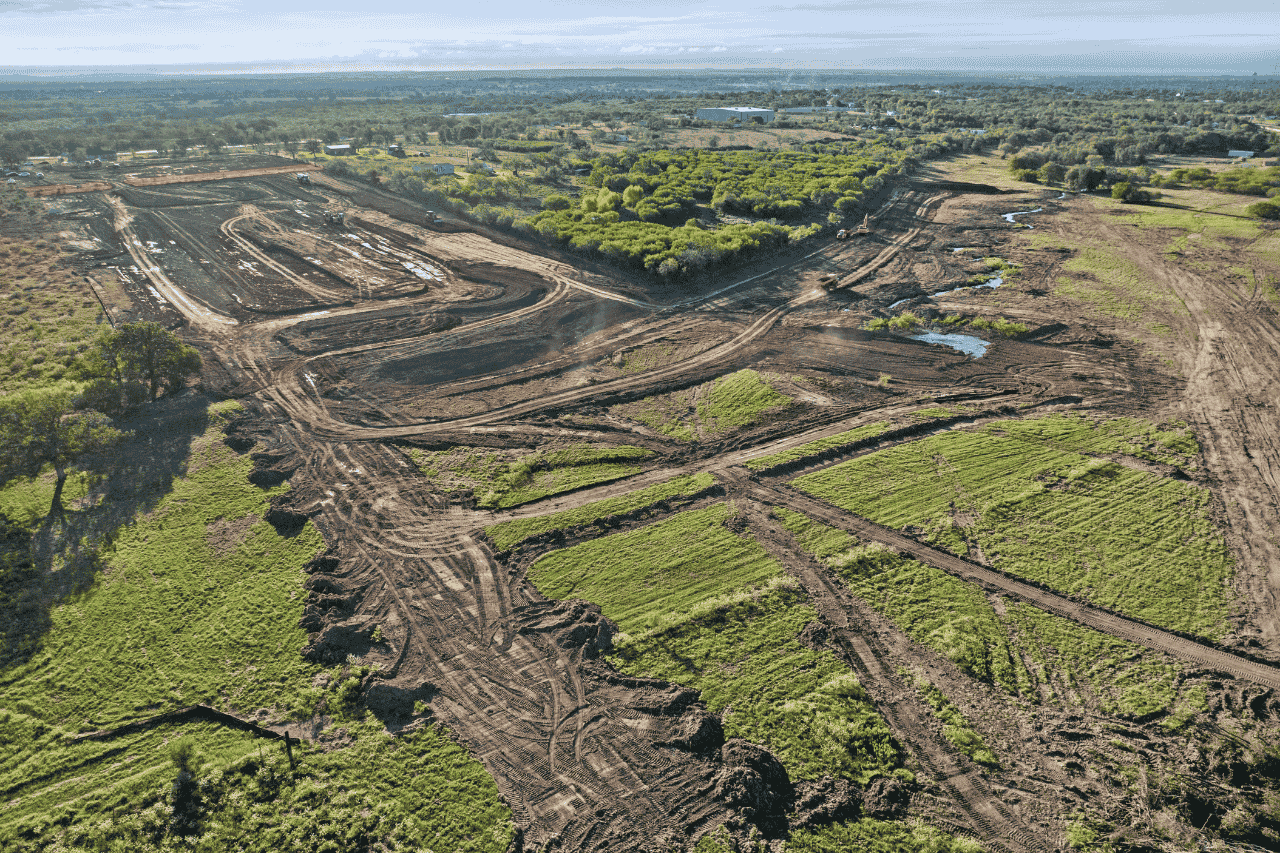
No two projects are the same. At Contour Mapping Pros, we pride ourselves on delivering customized solutions tailored to your specific industry needs. Our advanced technology and experienced team provide the insights and visuals necessary to ensure project success.
512.504.6080
marcusg@flybyservices.com
street 1,2,3, California USA
At Contour Mapping Pros, we specialize in precision mapping and construction data solutions.
Signup our newsletter to get update information, news & insight